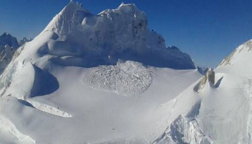
 Indian Army is deployed in the area of Siachen Glacier in Jammu & Kashmir in extremely harsh terrain and weather conditions. The troops deployed in this area are suitably equipped and trained to undertake the operational challenges and carry out their mandated tasks. The weather conditions in the area are closely monitored and weather warnings issued are strictly followed in terms of restriction on movements of the troops.
This information was given by Defence Minister Shri Manohar Parrikar in a written reply to Smt Vasanthi M in Lok Sabha today.
About Siachen Glacier
The Siachen Glacier is located in the eastern Karakoram range in the Himalaya Mountains at about 35.421226�N 77.109540�E, just northeast of the point NJ9842 where the Line of Control between India and Pakistan ends. At 76 km (47 mi) long, it is the longest glacier in the Karakoram and second-longest in the world’s non-polar areas. It falls from an altitude of 5,753 m (18,875 ft) above sea level at its head at Indira Col on the East Turkestan border down to 3,620 m (11,875 ft) at its terminus. The entire Siachen Glacier, with all major passes, is currently under the administration of India since 1984, while Pakistan controls the region west of Saltoro Ridge with Pakistani posts located 3,000 ft below 100 Indian posts on Saltoro Ridge.


