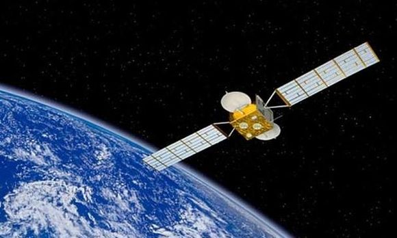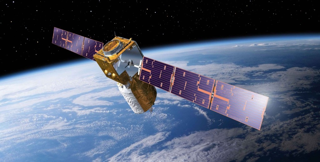
The roadmap includes providing the continuity of space technology tools for the existing public service with improved technological capabilities and development of technology for enabling newer services viz. location based services, geospatial services for ease of doing business and synergy of satellite communication, navigation & earth observation in planning, monitoring and evaluation of developmental activities in various sectors.
To enable the above activities, ISRO plans to realise communication satellites and earth observation satellites, associated ground segments and development of application tools/techniques. The funds for the above are the integral part of the annual plan of the department.
This information was provided by the Union Minister of State (Independent Charge) Development of North-Eastern Region (DoNER), MoS PMO, Personnel, Public Grievances & Pensions, Atomic Energy and Space, Dr Jitendra Singh in a reply to an unstarred question in Lok Sabha on 9th March, 2016.


